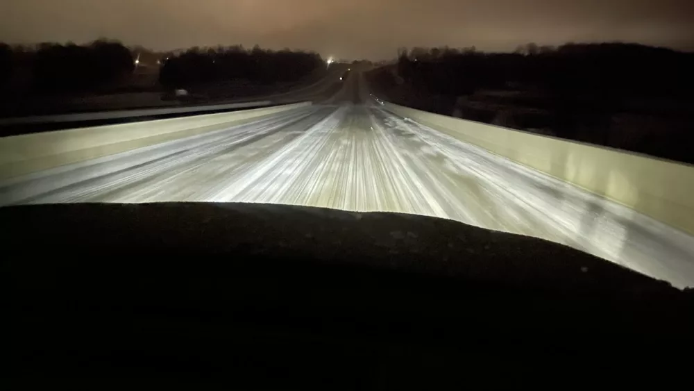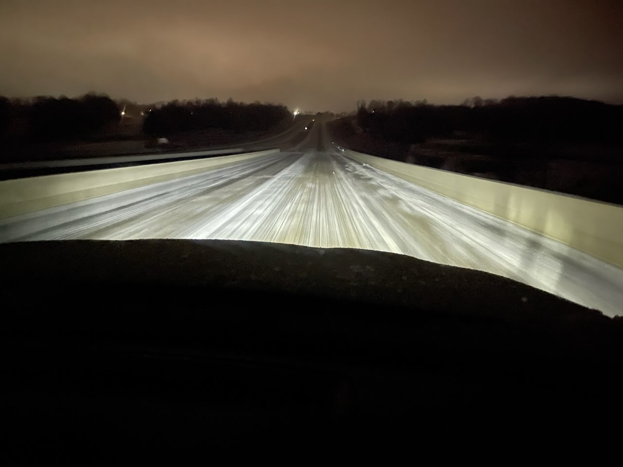
For the remainder of Tuesday — and perhaps into midday Wednesday — several roads in south western Kentucky will be difficult to navigate, as a dangerous wintry mix, overcast skies and cooler-than-expected temperatures have created unfavorable traveling conditions.
Trigg County Emergency Management Director David Bryant noted that there is a clear weather line dividing the northern and southern parts of the county — each side with its own issues.
Bryant added that there is also some concerns of additional precipitation tonight, which would again make roads complicated until the middle of the week.
In regards to Hopkinsville and its surrounding bergs, Christian County Emergency Management Director Randy Graham said Tuesday morning has been a challenge — with several incidents requiring a modicum of first response.
Local officials, as well as those with the Kentucky Transportation Cabinet in districts No. 1 and No. 2, spent the better part of Monday pre-treating several thoroughfares here — only to be thwarted by the lack of sunshine Tuesday, and temperatures remaining at or below freezing.
Graham added that the amount of ice west Kentucky received also played a role in making things difficult.
Keith Todd, spokesman for KYTC District 1, said their office has been waylaid despite preventative preparations, and he added that Wednesday might bring little improvements — as the National Weather Service is scaling back some warmer forecasts.
Regardless, Todd said crews are out and about on A, B and C routes all across the district — spreading extra salt to help break up a thick frozen sheet.
Furthermore, Todd and the KYTC are asking anyone over the next 24-to-48 hours to travel “only when necessary,” evidenced by an 18-vehicle pile-up on I-69 Exit 41 southbound to the U.S. 641 spur in Benton — one that thankfully didn’t cause injury or death.
Todd said he spent early Tuesday morning getting dash-cam footage for concerned locals, but traveled at 45 miles-an-hour in a four-wheel vehicle.
Todd also confirmed that ice is “significantly” more difficult to deal with than snow.
The National Weather Service, as of noon Tuesday, was calling for temperatures to be in the upper 30s by late Wednesday.


